Himachal Pradesh · private taxi
Chandratal to Sangla Taxi
270 km · 12.9 hrs (usually split over 2 days) on the NH-5 (Hindustan–Tibet Road). Fixed all-inclusive fare, hill-experienced driver, confirmed on WhatsApp in minutes.
- Private cab
- One way
- Round trip
- Airport pickup
Route snapshot
Everything about the Chandratal → Sangla drive, at a glance
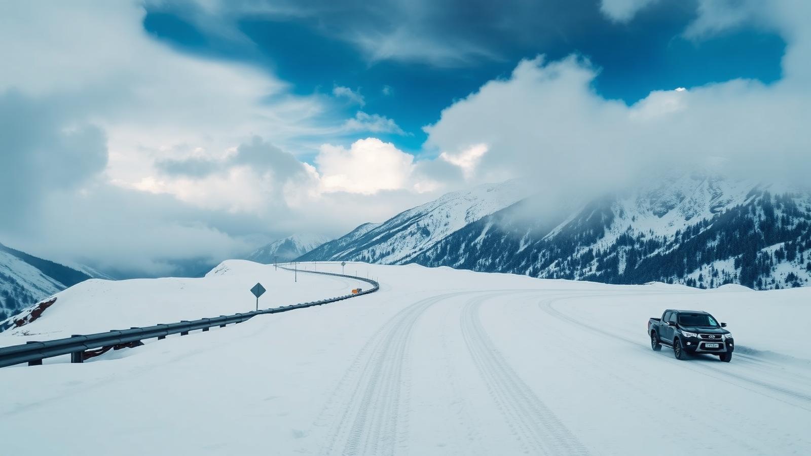
This is the Sutlej-side approach through Kinnaur — a slow, exposed climb on NH-5 past Khab and Nako, with shooting-stone stretches at Malling Nala. It stays open most of the year, which is why winter Spiti trips always route this way.
270 km
Distance
via NH-5 (Hindustan–Tibet Road)
12.9 hrs (usually split over 2 days)
Driving time
door to door, with halts
2,700 m
Altitude
-1600 m from Chandratal
Mixed
Road condition
tarmac then broken high-altitude sections
May to October, with winter runs by experienced crews only
Best season
clearest skies and open roads
High
Snow chance
Dec–Mar closures possible; chains carried
3
Toll plazas
already inside your fixed fare
2
Fuel stops
planned, not improvised
9°C
Typical weather
Rain showers, low cloud on arrival day
Terrain: crosses Khab, Nako escarpment, Malling Nala. Best window: May to October, with winter runs by experienced crews only.
Permit required. Indian nationals do not need a permit for Kaza itself, but foreign nationals require an Inner Line Permit issued at Reckong Peo or Kaza for the Sumdo–Kaza stretch. We handle the paperwork.
The route, stop by stop
Chandratal to Sangla — the halts our drivers actually use, with distance markers and altitude profile.
- 1Chandratal0 km
pickup at your doorstep, on time
4,300 m
- 2Losar25 km
dhaba halt our drivers actually eat at
4,079 m
- 3Kaza99 km
fuel, washrooms and a quick tyre check
3,800 m
- 4Pin Valley (Mudh)139 km
fuel, washrooms and a quick tyre check
3,810 m
- 5Tapri221 km
dhaba halt our drivers actually eat at
1,700 m
- 6Sangla270 km
drop at your hotel, homestay or campsite
2,700 m
- 2 fuel stops planned
- 3 toll plazas (in fare)
- Meal halts every 2–3 hours
- Photo pull-outs on request
Choose your car
Live fares from our pricing engine — tolls, driver allowance, hill surcharge and GST already inside.
Swipe for more →
 Best value
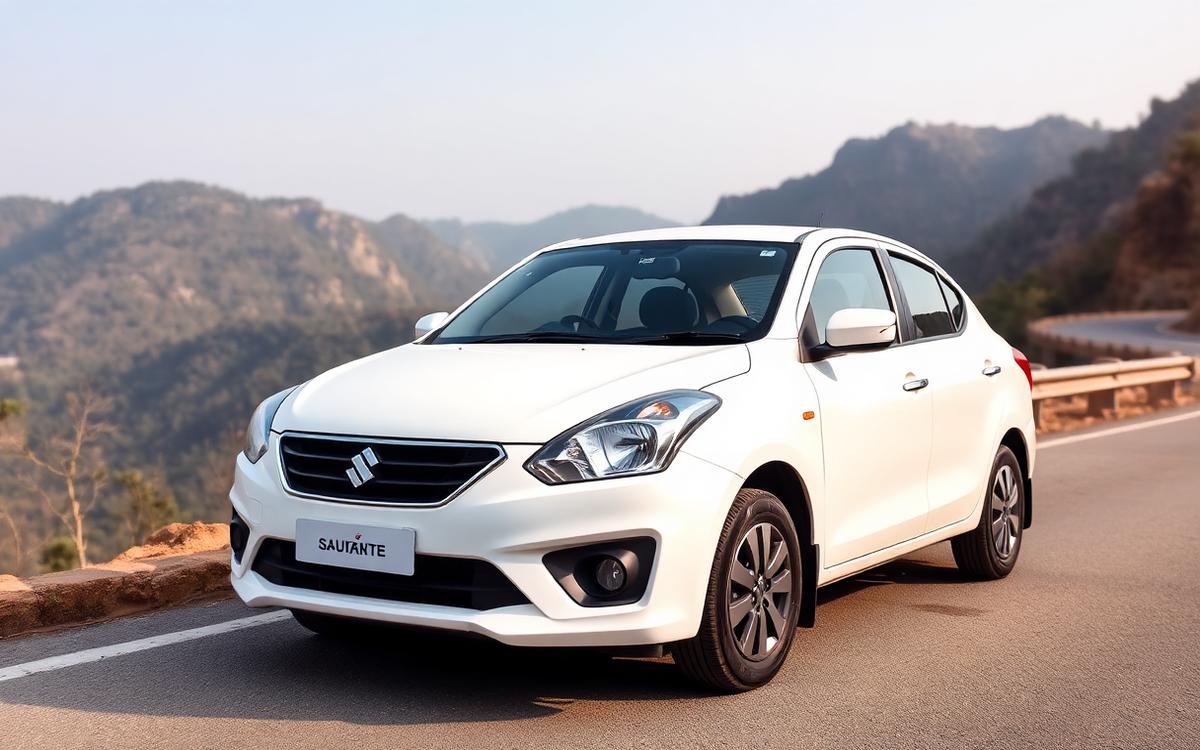
Sedan — Dzire / Aura
Light, economical and comfortable for couples and small families on sealed roads.
4 passengers 2 large bags- AC
- Music
- Phone charging
One way₹10,700
Book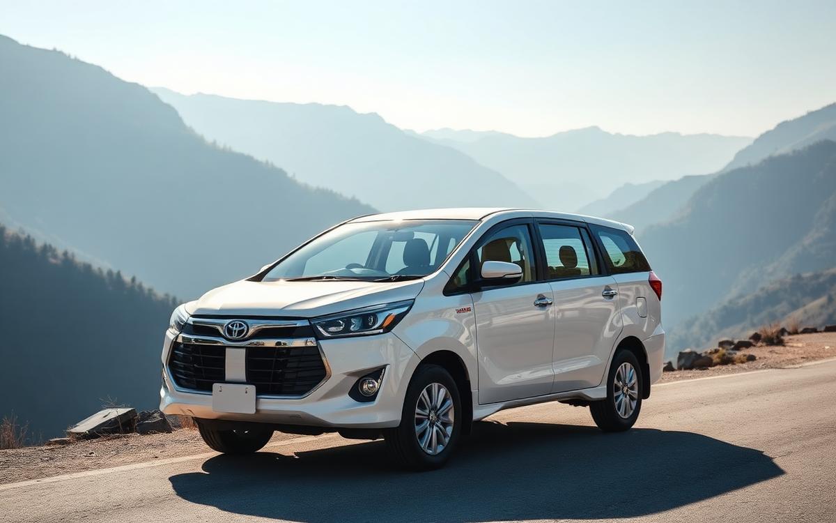 Recommended
SUV — Ertiga / Scorpio
The default hill choice — extra clearance for rough patches and room for luggage.
6 passengers 4 large bags- AC
- High ground clearance
- Roof carrier
One way₹12,550
Book- Best for families
Innova Crysta
Quietest ride on long hill days — worth it above six hours of driving.
6 passengers 4 large bags- Captain seats
- Smoothest ride
- Extra legroom
One way₹14,809
Book 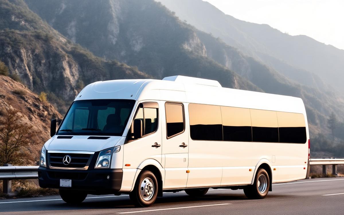
Tempo Traveller 12/17
For groups travelling together — one driver, one fare, no convoy chaos.
12–17 passengers Group luggage bay- Pushback seats
- AC
- Group friendly
One way₹15,750
BookLuxury SUV — Fortuner class
Snow season, high passes and anyone who wants the drive to feel effortless.
6 passengers 4 large bags- 4x4 on request
- Premium interiors
- Snow-ready tyres
One way₹21,963
Book
Fares come from the same live pricing engine used for every Himachal Tour and Taxi booking — base fare, per-km rate, driver allowance, tolls, hill surcharge and GST included. Rough fuel cost for this distance works out near ₹2,250, and it is already inside the number above.
Why book with us
Booked by people who live on these roads
Eight reasons travellers keep coming back to the same WhatsApp thread.
No hidden charges
One fixed number covers tolls, permits, driver allowance, hill surcharge and GST.
Local Himachal drivers
Men who drive these bends weekly — not plains drivers on their first hill run.
GPS tracked
Share the live location with family the moment the car leaves.
24×7 support
A human on WhatsApp at 3 AM, not a ticket queue.
Safe mountain driving
Chain-fitted tyres in snow season, daylight-only high sections, no night gambling.
Verified vehicles
Commercial permits, valid fitness, serviced before every long run.
Instant WhatsApp confirmation
Car, driver name and number in writing before you travel.
Transparent pricing
The same rate card as our own operations desk — no page-only numbers.
Destination
Arriving in Sangla
the Baspa valley's main village and apple-orchard camps
- Walk the older lanes of Sangla early — the light before 8 AM is the best of the day.
- Eat local: Kinnauri thali, dry fruit and apple juice from village co-operatives.
- An apple-village stop at Reckong Peo or Sangla where the gorge finally opens into terraced fields — ask the driver, he knows the good one.
- Keep an evening free at altitude — sunsets up here run long.
Travel timeline
How the day actually runs
Typical departure and halts for this sector — adjusted to your plan on WhatsApp.
5:00 AM
Pickup in Chandratal
Driver reaches your address 10 minutes early, loads luggage and confirms the route on WhatsApp before rolling.
6:12 AM
Breakfast halt — Losar
25 km down, dhaba halt our drivers actually eat at. Kinnauri thali, dry fruit and apple juice from village co-operatives — 15 to 25 minutes, never longer.
9:44 AM
Tea and photo break — Kaza
99 km down, fuel, washrooms and a quick tyre check. an apple-village stop at Reckong Peo or Sangla where the gorge finally opens into terraced fields — 15 to 25 minutes, never longer.
11:38 AM
Lunch halt — Pin Valley (Mudh)
139 km down, fuel, washrooms and a quick tyre check. an apple-village stop at Reckong Peo or Sangla where the gorge finally opens into terraced fields — 15 to 25 minutes, never longer.
3:34 PM
Last stretch break — Tapri
221 km down, dhaba halt our drivers actually eat at. an apple-village stop at Reckong Peo or Sangla where the gorge finally opens into terraced fields — 15 to 25 minutes, never longer.
5:54 PM
Arrival in Sangla
Dropped exactly where you're staying. If the last kilometre is walking-only, the driver waits until your bags are handed over.
Typical conditions in Sangla
9°C
Rain showers, low cloud · nights around -2°C
- Rain chance
- 65%
- Snow chance
- 0%
- Visibility
- 4–8 km in cloud
- Sunrise
- 05:35
- Sunset
- 19:05
- Best month
- June
Road conditions
What the NH-5 (Hindustan–Tibet Road) is like right now
Honest notes from the drivers running this sector this season.
Road quality
Mixed — the Hindustan–Tibet Road, cut into the Sutlej gorge with rock galleries, overhangs and shooting-stone warning boards.
Hairpin bends
Roughly 23 tight bends on this run. Motion-sickness prone travellers should take the front seat and skip a heavy breakfast.
Night driving
Night running is fine on this corridor; the highway is lit and patrolled through the plains stretch.
Monsoon advisory
BRO blasting windows and shooting-stone zones can hold traffic for 20–40 minutes; we build that into the schedule rather than pretending it will not happen July and August need a buffer day on either side of a fixed plan.
Snow advisory
Deep-winter closures are real here. We fit chains, carry a shovel and will tell you honestly the night before if the pass is shut.
Vehicle recommendation
SUV is what we send by default on this sector, based on gradient, road width and luggage space.
Booking process
Five steps, two minutes
No forms, no app download, no advance payment gateway.
- 01
Choose your vehicle
Pick the car that fits your group and luggage.
- 02
Confirm on WhatsApp
Trip details are pre-filled — hit send.
- 03
Driver assigned
Name, photo and number shared in writing.
- 04
Trip starts
Doorstep pickup, live location shared.
- 05
Enjoy the journey
Halts where you want them. Pay at the end.
Travellers on this route
4.8 average from 125 reviews
Swipe →
Chandratal to Sangla in photos
Local guide
Chandratal to Sangla taxi: a local driver's full guide
Travelling from Chandratal to Sangla by cab means 270 km via the NH-5 (Hindustan–Tibet Road). Sustained speed on this road rarely crosses 21 km/h, so budget the full 12.9 hrs (usually split over 2 days) plus tea and photo halts. You lose roughly 1,600 m coming down from Chandratal to Sangla, which means long stretches of engine braking — one reason we send well-maintained brakes on this leg rather than the cheapest car available. You cross Khab, Nako escarpment, Malling Nala on the way, and that is where the day is won or lost. This is the Sutlej-side approach through Kinnaur — a slow, exposed climb on NH-5 past Khab and Nako, with shooting-stone stretches at Malling Nala. It stays open most of the year, which is why winter Spiti trips always route this way. Kinnaur's road is cut into the Sutlej gorge, with overhangs, shooting-stone boards and drops that make passengers move to the inside seat. Snow is the deciding factor — may to october, with winter runs by experienced crews only is the reliable window, and winter departures run only with chains and a confirmed road-status check that morning. We recommend an SUV — ground clearance and chain-ready tyres matter more than comfort once you are past Khab. Paperwork matters on this one: Indian nationals do not need a permit for Kaza itself, but foreign nationals require an Inner Line Permit issued at Reckong Peo or Kaza for the Sumdo–Kaza stretch. Sangla is known for the Baspa valley's main village and apple-orchard camps.
Road condition on the NH-5 (Hindustan–Tibet Road)
+
Leaving Chandratal you are on cold-desert road above 3,000 m — long gravel and washboard stretches between short tarred sections. Altitude is the real hazard, not the road — headaches, breathlessness and poor sleep on night one are normal and manageable if the gain is slow.
Closer to Sangla the road becomes the Hindustan–Tibet Road, cut into the Sutlej gorge with rock galleries, overhangs and shooting-stone warning boards. BRO blasting windows and shooting-stone zones can hold traffic for 20–40 minutes; we build that into the schedule rather than pretending it will not happen.
The route crosses Khab and Nako escarpment and Malling Nala, and that is where the day is decided. Pass sections are checked the morning of travel — BRO and district police status first, our own drivers on the ground second. If the pass is shut there is no clever alternative alignment on this corridor; the trip shifts rather than re-routes, and we tell you that before you pay anything.
Surface quality changes year to year as widening work moves along the corridor. We would rather tell you about a rough 15 km stretch in advance than have you discover it at 2 a.m. on a night transfer — so if there is active blasting, a diversion or a broken section on your travel date, your driver flags it when confirming the pickup.
Related on this corridor: driving Atal Tunnel (North Portal) to Kalpa, the Sangla–Kamru road, and other Kinnaur drives.
Chandratal to Sangla by taxi: the honest version
+
A one-way cab from Chandratal to Sangla means 270 km via the NH-5 (Hindustan–Tibet Road) and about 12.9 hrs (usually split over 2 days) behind the wheel. Everything on this page — timing, fares, halts, road condition — comes from drivers who run this alignment week after week, not from a generic distance table.
Running speed averages about 21 km/h once halts, gradient and traffic are counted. On paper that sounds slow; on this road it is a good day. The corridor is this is the Sutlej-side approach through Kinnaur — a slow, exposed climb on NH-5 past Khab and Nako, with shooting-stone stretches at Malling Nala. It stays open most of the year, which is why winter Spiti trips always route this way.
Elevation matters as much as distance here. Chandratal sits at 4,300 m and Sangla at 2,700 m, a net loss of 1,600 m. Coming down that much means long spells of engine braking, and it is the main reason we care about which car goes out on this run rather than sending whatever is free.
Also worth reading: Chandigarh to Sangla taxi, and Zirakpur to Sangla cab service.
Chandratal to Sangla distance by road and realistic drive time
+
The road distance is 270 km. Straight-line distance is considerably less, and that gap is the whole story of driving in Himachal: the road follows rivers and contours rather than going where you want it to. Anyone quoting you a much shorter figure is measuring on a map, not on tarmac.
Broken into thirds, the first 90 km out of Chandratal is the easiest running of the day, the middle 90 km is where the character of the route changes, and the final 90 km into Sangla is the slowest — expect the last third to eat close to 323 minutes more than its share of the distance suggests.
In practice, 21 km/h is the number to plan against. A 7 a.m. departure from Chandratal puts you in Sangla by roughly 8:45 p.m. with two halts; a 10 a.m. start puts you there after dark in winter, which is worth avoiding on this alignment.
Travellers on this page also check: how far Sangla is from Ambala, and Ludhiana to Sangla distance by road.
Chandratal to Sangla taxi fare and per-km rates
+
One-way fares on this route are ₹10,700 for a sedan, ₹12,550 for an SUV and ₹15,750 for a 12/17-seater Tempo Traveller. Across 270 km that works out to roughly ₹40 per km in a sedan and ₹46 per km in an SUV — all-inclusive figures, not a base rate with extras waiting at the end.
Included: fuel, driver allowance (bhatta), all tolls and state taxes, GST, and the hill surcharge that applies to gradient-heavy sectors. Not included: parking at the destination, entry fees to protected or restricted zones, anything you ask the driver to detour for, and overnight stay charges on multi-day hires — each of which is quoted openly before you confirm.
Multi-day hires are quoted per day with a daily kilometre allowance rather than as a stack of point-to-point fares, which almost always works out lower for sightseeing itineraries around Sangla.
Fares on this page come from the same live pricing engine used for every Himachal Tour and Taxi booking, so seasonal rate changes show up here rather than going stale. The number you are quoted on WhatsApp is the number you pay — we would rather lose a booking on the quote than argue about it at the destination.
Travellers on this page also check: Jalandhar to Sangla taxi rates, and Delhi to Sangla taxi rates.
Which vehicle to book for this route
+
We recommend an SUV (Ertiga, Innova or equivalent) at ₹12,550 on this route. Ground clearance, chain-ready tyres and a driver who has done the high sections before are non-negotiable here — this is not a corridor for the cheapest available car. Sedans run this route at ₹10,700 in fair weather only.
Groups of seven or more travel in a Tempo Traveller at ₹15,750, available in 12- and 17-seat layouts. On hill routes the larger body means slower cornering and wider turning circles, so a Tempo takes a little longer than the car figures on this page — we quote the honest, slower time rather than the car time.
Whatever the class, the vehicles we put on Sangla runs are checked for brakes, tyre depth and lights before a hill sector, and in snow season for chains. That is standard for us and worth asking of anyone you book with, here or elsewhere.
Also worth reading: SUV for Noida to Sangla.
Where the car stops: halts, food and washrooms
+
On a 12.9 hrs (usually split over 2 days) run we plan 3 halts, and where they fall is not random. The first is a slow-gain halt at a lower village so the body has a night to adjust before going higher; later comes an apple-village stop at Reckong Peo or Sangla where the gorge finally opens into terraced fields.
Food along the way means Spitian thukpa, momos and butter tea at homestay kitchens; hot food is limited and timings are early. Nearer Sangla it shifts to Kinnauri thali, dry fruit and apple juice from village co-operatives.
Washrooms decide halts as much as food does, especially with children or elderly passengers in the car. Our drivers keep a mental list of which stops on this corridor are actually usable and which look fine from the road — that list is the sort of thing you only build by driving the route dozens of times.
Photo stops are free; we would simply rather schedule them where there is a safe pull-off, which on parts of this road is scarcer than the views suggest.
Travellers on this page also check: where the car stops on Gurugram to Sangla, and Pathankot to Sangla break points.
Best time to travel to Sangla
+
The dependable window is May to October, with winter runs by experienced crews only. May to October is the reliable stretch; the road stays open in winter but with heavy delays.
Snow is the deciding variable on this route. Between December and March we do not confirm a departure without checking the road status that morning, and vehicles going out in that window carry chains as standard. If conditions turn, we would rather reschedule you than send a car up a road our own driver is unhappy about — that call has never once been regretted by a passenger.
Peak weekends and long holiday weekends add real time to this drive, sometimes an hour or more of queueing alone. If your dates are flexible, a mid-week departure is the single cheapest upgrade available to you.
Related on this corridor: when to drive Amritsar to Sangla, and Sangla travel season.
Altitude on the way to Sangla
+
Sangla sits at 2,700 m. That is high enough for some passengers to feel a headache or breathlessness on the first evening. Symptoms usually appear a few hours after arrival rather than on the drive itself, which is why the plan for the first night matters more than the plan for the drive.
On this sector our drivers build in slow-gain halts instead of pushing straight up, keep the car's climb rate reasonable, and carry oxygen cans on request. The practical advice is unglamorous and works: drink far more water than feels necessary, skip alcohol on night one, eat light, and sleep at the lowest altitude your itinerary allows before going higher.
If someone in the group has a heart or respiratory condition, or is travelling with a very young child, tell us at booking. It occasionally changes what we recommend — a different halt, an extra night lower down, or a different route entirely — and that conversation is far better had before you have paid for hotels.
Compare with: acclimatising for Sangla.
Your driver: hill experience on this specific sector
+
Hill driving is a separate skill from highway driving, and the difference shows in the small things — where a driver positions the car on a blind hairpin, how early they read an oncoming bus, whether they use engine braking on a long descent instead of cooking the pads. Every driver we send onto the Chandratal–Sangla sector has run it before; we do not use a route page to sell a driver's first attempt at it.
Drivers on this corridor are local to the region, which matters practically: they know BRO blasting windows and shooting-stone zones can hold traffic for 20–40 minutes; we build that into the schedule rather than pretending it will not happen, they know which halts have working washrooms, and they know who to call when a slope-clearance crew is holding traffic. They also speak the local language at checkposts and markets, which quietly removes friction you would otherwise be paying for in time.
Driver documents — licence, badge, vehicle papers, permit — are verified before a car is assigned, and the driver's name and number reach you before pickup rather than at the last minute. On overnight and multi-day hires we plan the halts around driver rest, because a tired driver on hill roads is a bigger risk than any road condition on this route.
Also worth reading: our Rakcham–Sangla drivers.
Permits, checkposts and paperwork
+
This route needs paperwork. Indian nationals do not need a permit for Kaza itself, but foreign nationals require an Inner Line Permit issued at Reckong Peo or Kaza for the Sumdo–Kaza stretch. We file the application, carry printed copies in the vehicle and keep digital backups, so you are not standing at a checkpost with your luggage in the boot while somebody looks for a photocopier. Send us ID copies at the time of booking and the permit is ready before you travel.
Himachal also runs a green tax / entry formality for vehicles coming in from outside the state, plus congestion and entry restrictions in a few towns. Those are handled by us and already included in the fare, so they never turn up as a surprise line at the end of the trip.
Restricted-area rules in Himachal genuinely change — Rohtang caps, Spiti and Kinnaur Inner Line requirements and local seasonal orders are all revised without much warning. We check current rules for your travel date rather than relying on what was true last season, and if a rule has changed in a way that affects your plan, you hear it from us first.
Compare with: paperwork for Reckong Peo to Sangla, and Kalpa to Sangla permit route.
What to carry on this drive
+
Temperature on this route drops as you climb, and Sangla at 2,700 m can be noticeably colder than your departure point even in summer — nights especially. Carry one layer more than the forecast suggests; nobody has ever regretted the extra fleece in the car.
Practical kit for this sector: ID copies for everyone, any prescription medicines in hand luggage rather than the boot, motion-sickness tablets if hairpins bother you, a power bank, and cash. Card and UPI coverage is good in the towns and unreliable in between, so a few thousand in cash removes a lot of small friction.
In snow season add waterproof shoes with grip, gloves and a warm cap. Cars go out chain-equipped, but standing in slush at a traffic hold in canvas shoes is a miserable way to spend forty minutes.
Also worth reading: Sangla weather and layers.
Suggested plan for the day
+
At 12.9 hrs (usually split over 2 days) of driving, Chandratal to Sangla is a long single day and an honest operator will say so. We run it two ways: a pre-dawn start with a two-driver plan, or a planned overnight halt that turns a punishing day into two comfortable ones. Where we suggest the halt, the stay charge is shown in the quote up front rather than appearing later.
A workable shape for the day: leave Chandratal early, take the first halt after the initial stretch is behind you, eat before the slow section rather than during it, and keep the last hour clear of any hard commitments. Arrival times in the hills are estimates, and the plans that survive contact with this road are the ones with slack built in.
Most travellers on this sector also book their local sightseeing and the return leg with the same driver. It is cheaper than fresh point-to-point fares, and by day two the driver knows the group — where you want to stop, how often, and how early you are actually willing to start.
Related on this corridor: Spello to Sangla in a day, and Dodra Kwar to Sangla day plan.
Taxi vs bus vs self-drive on Chandratal to Sangla
+
Buses run this corridor and they are cheap, which is a real argument. What they cost you is control: fixed halts, fixed timings, luggage handling at every change, and the last-mile problem at Sangla, where the bus stand is rarely where you are actually staying. For two travellers on a tight budget the bus wins; from three passengers upward, a private cab at ₹10,700 is usually comparable per head and hours better on comfort.
Self-drive is the choice most people regret on hill sectors specifically. On a route with this snow and pass exposure, an unfamiliar driver in a rented car is the highest-risk option available. Add the cost of the rental, fuel, tolls and parking hassles at the destination and the gap to a chauffeur-driven cab narrows sharply.
A private taxi buys three things on this route: door-to-door pickup, the ability to stop where you want, and a driver who has done the sector before. On 270 km of hill road, that third one is the one you actually pay for.
Related on this corridor: Tapri to Sangla travel options.
Local notes for Sangla
+
Sangla is known for the Baspa valley's main village and apple-orchard camps. Most visitors arriving by cab underestimate how much of it sits away from the main road, which is where having the car and driver for a second day tends to pay off.
Food here means Kinnauri thali, dry fruit and apple juice from village co-operatives. Ask your driver where they eat rather than following the largest signboard; the answer is generally cheaper and better.
Two practical local details: parking in the older parts of Sangla is tight, so the last hundred metres to a guesthouse is sometimes on foot with bags, and phone coverage varies sharply by operator in Kinnaur. Both are easier when the driver knows the town, which is the quiet argument for booking locally rather than sending a car up from the plains.
Compare with: local sightseeing from Sangla, things to do around Sangla, and Sangla local cab rates.
Booking a Chandratal to Sangla cab
+
Booking runs on WhatsApp because it is the fastest way to get you a real, fixed number from a person who knows the route. Tap the button on this page and the message arrives pre-filled with your trip details — Chandratal to Sangla, your date and time, passenger count and any special request — so Paras can reply with the final fare instead of asking you six questions first. Replies usually take minutes, not hours.
We confirm four things before you pay anything: the exact fare and what it includes, the vehicle class going out, the pickup time, and the driver's name and number. There is no advance demanded for a standard one-way booking on this route; longer expedition trips take a partial advance, which is stated openly at quote time.
Changes happen and we plan for them. Flight delays, a hotel that moved the check-in, weather on the pass — tell us as early as you can and we adjust. The one thing we will not do is send a car onto a road our own driver thinks is unsafe on the day, whatever it costs us in a cancelled booking.
Also worth reading: one-way drop Bhavanagar to Sangla, and cabs available in Chandratal.
Why travellers book this route with Himachal Tour and Taxi
+
Fixed, transparent pricing: the ₹10,700 sedan fare on this page is the all-in number, with fuel, driver allowance, tolls, taxes and hill surcharge already inside it. No fuel top-ups mid-route, no "the road was bad" adjustment at the destination.
Local operation: we are based in Himachal, our drivers live in these valleys, and the two people answering your WhatsApp — Kartik and Paras — have run and driven these roads themselves. When you ask whether the Chandratal–Sangla road is fine this week, the answer comes from someone who spoke to a driver on it yesterday.
Verified drivers and tracked vehicles: documents checked before assignment, GPS tracking on the trip, and support available at any hour on the number you already have. That combination is what turns a 270 km drive into a hill journey you actually enjoy.
Related on this corridor: our Nichar–Sangla service.
Written by
Kartik & Paras · Himachal Tour and Taxi route desk, Himachal Pradesh
Written and fact-checked by Himachal Tour and Taxi's own route desk in Himachal Pradesh. Kartik and Paras have coordinated hill transfers across all twelve districts — Shimla, Kullu, Kangra, Chamba, Lahaul-Spiti and Kinnaur included — and every timing, fare and road note here is cross-checked with the drivers running that sector this season.
Questions on this sector? Kartik +91 70182 76599 · Paras +91 85447 52319
Chandratal to Sangla — questions travellers ask
Which route does the Chandratal to Sangla cab take?
Yes — a single continuous route of about 270 km via the NH-5 (Hindustan–Tibet Road), crossing Khab and Nako escarpment and Malling Nala. There is no alternative alignment, so if the pass is shut the trip is postponed rather than re-routed.
What is the cab fare from Chandratal to Sangla?
Sedan ₹10,700, SUV ₹12,550 and Tempo Traveller ₹15,750 one way, all-inclusive of fuel, driver allowance, tolls and taxes for the full 270 km. Round trips and multi-day hires are quoted per day on the same rate card — nothing is added at the end of the trip.
Do I need a permit for the Chandratal–Sangla route?
Indian nationals do not need a permit for Kaza itself, but foreign nationals require an Inner Line Permit issued at Reckong Peo or Kaza for the Sumdo–Kaza stretch. We handle the application and carry printed copies in the car, so you are not queuing at a checkpost with your luggage in the boot.
Should I book a sedan or an SUV for Sangla?
We recommend the SUV (₹12,550) — clearance, chain-fitted tyres and a hill-experienced driver are non-negotiable on this terrain. Sedans are allowed at ₹10,700 in dry season only; large groups take a Tempo Traveller at ₹15,750.
Can I do Chandratal to Sangla in January?
Yes, seasonally. May to October, with winter runs by experienced crews only is the dependable window, since Khab is the first thing to shut after a heavy spell. Between December and March we check the BRO/police road status the morning of travel and fit chains before the climb.
Is Chandratal to Sangla doable in one day?
At 12.9 hrs (usually split over 2 days) of driving it is a long single day. We either start before dawn with a two-driver plan, or break the journey at a lower-altitude halt for acclimatisation — with the night-halt charge shown up front in your quote.
Which months are best for the Chandratal to Sangla drive?
May to October, with winter runs by experienced crews only is the window we recommend for this sector. In practice, May to October is the reliable stretch; the road stays open in winter but with heavy delays. If your dates fall outside that, the trip still runs — we just change the departure time and the vehicle rather than the promise.
What is the road condition from Chandratal to Sangla?
The corridor is the Hindustan–Tibet Road, cut into the Sutlej gorge with rock galleries, overhangs and shooting-stone warning boards. BRO blasting windows and shooting-stone zones can hold traffic for 20–40 minutes; we build that into the schedule rather than pretending it will not happen. Surface quality changes after every monsoon and every winter, so your driver checks the current status of the NH-5 (Hindustan–Tibet Road) the morning you travel.
Are food and washroom stops included on this route?
We plan three halts on a 12.9 hrs (usually split over 2 days) run, chosen for working washrooms as much as for food — typically an apple-village stop at Reckong Peo or Sangla where the gorge finally opens into terraced fields. Expect Kinnauri thali, dry fruit and apple juice from village co-operatives. Halts are yours to move: tell the driver at pickup if you want to eat somewhere specific or push straight through.
Can the fare change after booking?
The quoted fare is fixed for the 270 km and includes fuel, driver allowance, tolls and taxes. It only moves if you change the trip — extra pickups, added sightseeing, a night halt, or permit fees for the restricted section, or waiting beyond the free window. In snow season a chain-fitted vehicle carries a surcharge, and we tell you that at quote time, not at the destination.
Trust
A real transport business, not a lead form
- Registered company
- GST registered
- Commercial permits
- Licensed drivers
- Thousands of hill trips
- Reviewed by travellers
- Years on these roads
- Emergency support
Related routes
Other drives on this corridor
Fixed fares on the pairs travellers usually compare with this one.
- return legfrom ₹10,700
Sangla to Chandratal taxi
270 km 12.9 hrs (usually split over 2 days)
- also to Sanglafrom ₹9,800
Dehradun to Sangla taxi
245 km 8 hr 24 min
- also to Sanglafrom ₹11,950
Panchkula to Sangla taxi
305 km 8 hr 24 min
- also from Chandratalfrom ₹1,850
Chandratal to Kunzum Pass taxi
20 km 2 hr 54 min
- also from Chandratalfrom ₹2,200
Chandratal to Losar taxi
30 km 3 hr 18 min
- nearby routefrom ₹10,700
Atal Tunnel (North Portal) to Reckong Peo taxi
270 km 10 hr 54 min
Tour packages
Tour packages that include the Chandratal–Sangla drive
Multi-day circuits with this leg built in — cab, hill driver, tolls and permits all inside one fixed quote.
Spiti Valley Tour Package
The full circuit driven in the safe direction — up the Sutlej through Kinnaur so you gain altitude slowly, across Spiti, and out over Kunzum to Manali. This is the itinerary that keeps people from getting altitude sick.
8 days · 7 nightsfrom ₹78,000Kinnaur Tour Package
Himachal's most underrated valley. Apple orchards, the Baspa river, Chitkul's last-village silence and Kalpa's Kinner Kailash sunrise, all reached on one of the world's great mountain roads.
6 days · 5 nightsfrom ₹44,500
Book Chandratal → Sangla
Your trip details are pre-filled. Send the message and a local expert replies with the final fixed fare — usually within minutes.